
Walsh Island topographic map
Interactive map
Click on the map to display elevation.
About this map
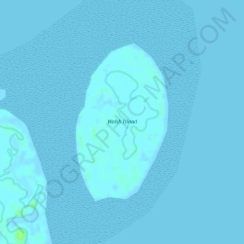
Name: Walsh Island topographic map, elevation, terrain.
Location: Walsh Island, Hervey Bay, Queensland, Australia (-25.49116 152.95855 -25.47358 152.96989)
Average elevation: 1 m
Minimum elevation: -2 m
Maximum elevation: 11 m
Other topographic maps
Click on a map to view its topography, its elevation and its terrain.
Great Sandy National Park
Australia > Queensland > Hervey Bay
Great Sandy National Park, Hervey Bay, Queensland, Australia
Average elevation: 32 m