
Wenonah topographic map
Interactive map
Click on the map to display elevation.
About this map
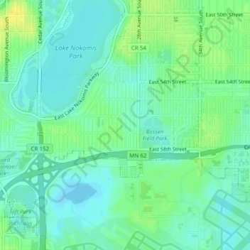
Name: Wenonah topographic map, elevation, terrain.
Location: Wenonah, Minneapolis, Hennepin County, Minnesota, USA (44.89511 -93.24751 44.90622 -93.22289)
Average elevation: 255 m
Minimum elevation: 247 m
Maximum elevation: 267 m