
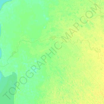
Ili River topographic map
Interactive map
Click on the map to display elevation.
About this map
Name: Ili River topographic map, elevation, terrain.
Average elevation: 344 m
Minimum elevation: 337 m
Maximum elevation: 353 m
Other topographic maps
Click on a map to view its topography, its elevation and its terrain.
Kabanbay
Kazakhstan > Almaty Region > Kabanbay
Kabanbay, Alakol District, Almaty Region, 040218, Kazakhstan
Average elevation: 678 m
Alakol
Alakol, Alakol District, Almaty Region, Kazakhstan
Average elevation: 495 m
Aksu District
Aksu District, Almaty Region, Kazakhstan
Average elevation: 908 m
Lake Kaindy
Lake Kaindy, Кегенский район, Almaty Region, Kazakhstan
Average elevation: 2,162 m