
Askeaton topographic map
Interactive map
Click on the map to display elevation.
About this map
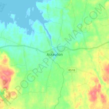
Name: Askeaton topographic map, elevation, terrain.
Location: Askeaton, County Limerick, Munster, Ireland (52.55972 -9.01556 52.63972 -8.93556)
Average elevation: 20 m
Minimum elevation: -2 m
Maximum elevation: 64 m