
Brahmaputra River topographic map
Interactive map
Click on the map to display elevation.
About this map
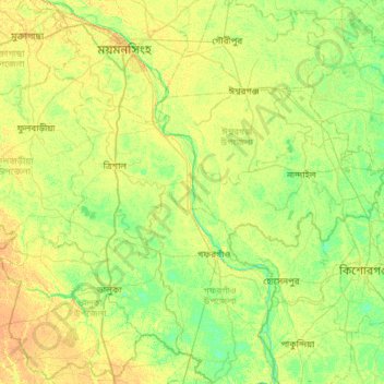
Name: Brahmaputra River topographic map, elevation, terrain.
Average elevation: 12 m
Minimum elevation: 2 m
Maximum elevation: 23 m
Other topographic maps
Click on a map to view its topography, its elevation and its terrain.
Mymensingh
Bangladesh > Mymensingh Division > Mymensingh
Mymensingh, Mymensingh District, Mymensingh Division, 2200, Bangladesh
Average elevation: 14 m