
Castledermot topographic map
Interactive map
Click on the map to display elevation.
About this map
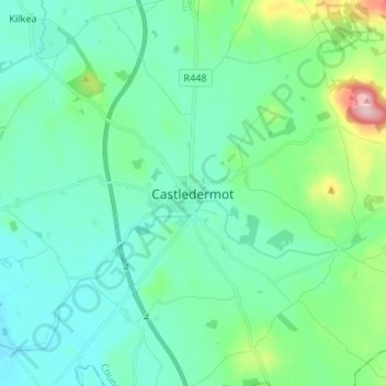
Name: Castledermot topographic map, elevation, terrain.
Location: Castledermot, County Kildare, Leinster, Ireland (52.87195 -6.87684 52.95195 -6.79684)
Average elevation: 94 m
Minimum elevation: 54 m
Maximum elevation: 266 m