
Leslie County topographic map
Interactive map
Click on the map to display elevation.
About this map
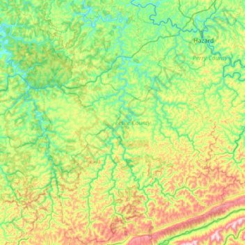
Name: Leslie County topographic map, elevation, terrain.
Location: Leslie County, Kentucky, USA (36.88305 -83.55592 37.32058 -83.16487)
Average elevation: 457 m
Minimum elevation: 232 m
Maximum elevation: 1,010 m
Other topographic maps
Click on a map to view its topography, its elevation and its terrain.
Georgetown
USA > Kentucky > Georgetown
Georgetown, Scott County, Kentucky, 40324, USA
Average elevation: 265 m