
Arak topographic map
Interactive map
Click on the map to display elevation.
About this map
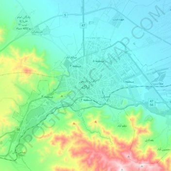
Name: Arak topographic map, elevation, terrain.
Location: Arak, بخش مرکزی, Arak County, Markazi Province, Iran (34.04005 49.60590 34.13644 49.82058)
Average elevation: 1,873 m
Minimum elevation: 1,658 m
Maximum elevation: 2,613 m