
Villavicencio topographic map
Interactive map
Click on the map to display elevation.
About this map
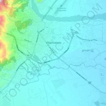
Name: Villavicencio topographic map, elevation, terrain.
Location: Villavicencio, Meta, Colombia (4.09132 -73.66544 4.15864 -73.56511)
Average elevation: 451 m
Minimum elevation: 367 m
Maximum elevation: 1,176 m