
Atwater topographic map
Interactive map
Click on the map to display elevation.
About this map
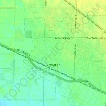
Name: Atwater topographic map, elevation, terrain.
Location: Atwater, Merced County, California, USA (37.33179 -120.63007 37.37497 -120.56681)
Average elevation: 50 m
Minimum elevation: 41 m
Maximum elevation: 58 m