
Sioux Falls topographic map
Interactive map
Click on the map to display elevation.
About this map
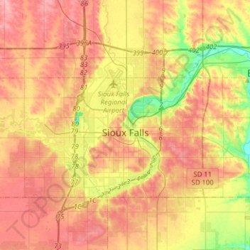
Name: Sioux Falls topographic map, elevation, terrain.
Location: Sioux Falls, Minnehaha County, South Dakota, USA (43.46544 -96.84073 43.61637 -96.65113)
Average elevation: 439 m
Minimum elevation: 388 m
Maximum elevation: 477 m