
El Maarif topographic map
Interactive map
Click on the map to display elevation.
About this map
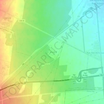
Name: El Maarif topographic map, elevation, terrain.
Location: El Maarif, Oggaz District, Mascara, Algeria (35.57245 -0.25380 35.61245 -0.21380)
Average elevation: 40 m
Minimum elevation: 20 m
Maximum elevation: 64 m