
Bartlesville topographic map
Interactive map
Click on the map to display elevation.
About this map
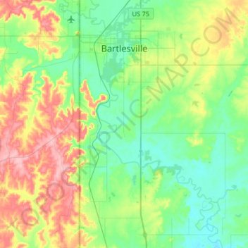
Name: Bartlesville topographic map, elevation, terrain.
Location: Bartlesville, Washington County, Oklahoma, USA (36.57206 -96.01276 36.78339 -95.88979)
Average elevation: 236 m
Minimum elevation: 189 m
Maximum elevation: 317 m