
Tinton Falls topographic map
Interactive map
Click on the map to display elevation.
About this map
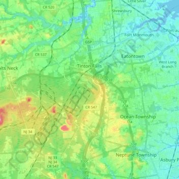
Name: Tinton Falls topographic map, elevation, terrain.
Location: Tinton Falls, Monmouth County, New Jersey, USA (40.20626 -74.12621 40.33727 -74.06444)
Average elevation: 23 m
Minimum elevation: -2 m
Maximum elevation: 78 m