
Formigal topographic map
Interactive map
Click on the map to display elevation.
About this map
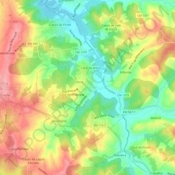
Name: Formigal topographic map, elevation, terrain.
Location: Formigal, CLD, Leiria, West, Centro, 2500-639, Portugal (39.38954 -9.11428 39.42954 -9.07428)
Average elevation: 79 m
Minimum elevation: 20 m
Maximum elevation: 142 m