
Loarre topographic map
Interactive map
Click on the map to display elevation.
About this map
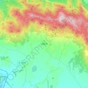
Name: Loarre topographic map, elevation, terrain.
Location: Loarre, Hoya de Huesca / Plana de Uesca, Huesca, Aragon, Spain (42.26562 -0.71418 42.36169 -0.57801)
Average elevation: 891 m
Minimum elevation: 549 m
Maximum elevation: 1,584 m