
The Metropolitan District of Limerick City topographic map
Interactive map
Click on the map to display elevation.
About this map
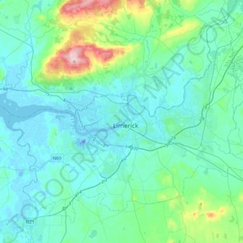
Name: The Metropolitan District of Limerick City topographic map, elevation, terrain.
Average elevation: 44 m
Minimum elevation: -26 m
Maximum elevation: 303 m
County Limerick trails, hiking, mountain biking, running and outdoor activities