
Tunja topographic map
Interactive map
Click on the map to display elevation.
About this map
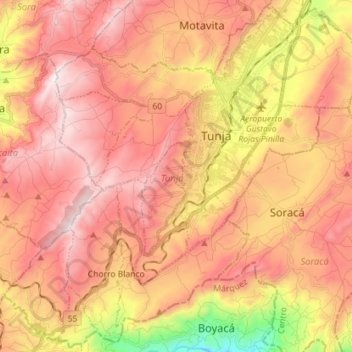
Name: Tunja topographic map, elevation, terrain.
Location: Tunja, Boyacá, Colombia (5.44672 -73.44658 5.58461 -73.30441)
Average elevation: 2,860 m
Minimum elevation: 2,228 m
Maximum elevation: 3,259 m