
Manzanera topographic map
Interactive map
Click on the map to display elevation.
About this map
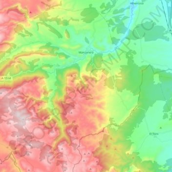
Name: Manzanera topographic map, elevation, terrain.
Location: Manzanera, Gúdar-Javalambre, Teruel, Aragon, Spain (39.95402 -0.96964 40.09894 -0.76205)
Average elevation: 1,224 m
Minimum elevation: 891 m
Maximum elevation: 1,677 m