
Split topographic map
Interactive map
Click on the map to display elevation.
About this map
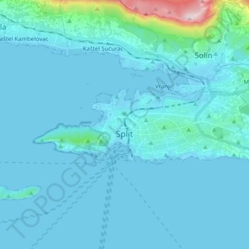
Name: Split topographic map, elevation, terrain.
Location: Split, Grad Split, Split-Dalmatia County, Croatia (43.49858 16.38780 43.53228 16.53036)
Average elevation: 47 m
Minimum elevation: -4 m
Maximum elevation: 669 m
Other topographic maps
Click on a map to view its topography, its elevation and its terrain.