
Darda topographic map
Interactive map
Click on the map to display elevation.
About this map
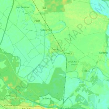
Name: Darda topographic map, elevation, terrain.
Location: Darda, Općina Darda, Osijek-Baranja County, 31326, Croatia (45.57290 18.54596 45.67050 18.71863)
Average elevation: 86 m
Minimum elevation: 78 m
Maximum elevation: 99 m