
Lewes topographic map
Interactive map
Click on the map to display elevation.
About this map
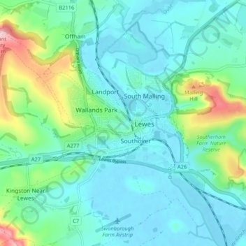
Name: Lewes topographic map, elevation, terrain.
Location: Lewes, East Sussex, South East England, England, United Kingdom (50.85948 -0.03090 50.88925 0.04931)
Average elevation: 36 m
Minimum elevation: -2 m
Maximum elevation: 164 m