
Astley topographic map
Interactive map
Click on the map to display elevation.
About this map
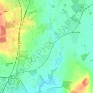
Name: Astley topographic map, elevation, terrain.
Location: Astley, Shropshire, West Midlands, England, United Kingdom (52.73947 -2.71984 52.77531 -2.66096)
Average elevation: 77 m
Minimum elevation: 58 m
Maximum elevation: 110 m