
Rat Creek topographic map
Interactive map
Click on the map to display elevation.
About this map
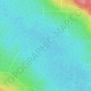
Name: Rat Creek topographic map, elevation, terrain.
Location: Rat Creek, Brazeau County, Alberta, Canada (53.16696 -115.56458 53.19558 -115.51554)
Average elevation: 917 m
Minimum elevation: 900 m
Maximum elevation: 994 m