
Terryglass topographic map
Interactive map
Click on the map to display elevation.
About this map
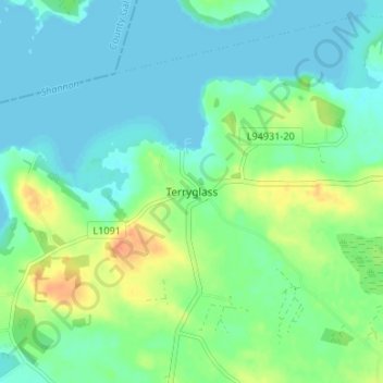
Name: Terryglass topographic map, elevation, terrain.
Location: Terryglass, County Tipperary, Munster, Ireland (53.03534 -8.22553 53.07534 -8.18553)
Average elevation: 41 m
Minimum elevation: 29 m
Maximum elevation: 68 m