
Rosscarbery topographic map
Interactive map
Click on the map to display elevation.
About this map
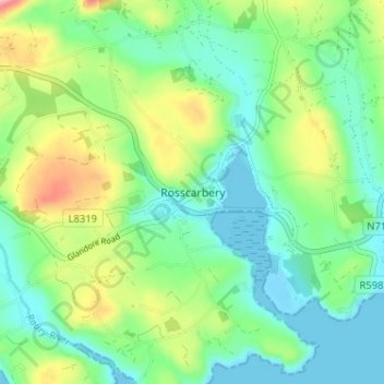
Name: Rosscarbery topographic map, elevation, terrain.
Location: Rosscarbery, West Cork, County Cork, Munster, P85E063, Ireland (51.55751 -9.05293 51.59751 -9.01293)
Average elevation: 44 m
Minimum elevation: -4 m
Maximum elevation: 141 m