
Sallins topographic map
Interactive map
Click on the map to display elevation.
About this map
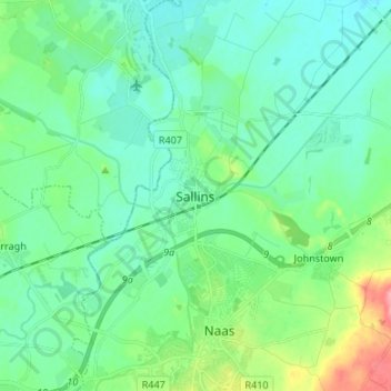
Name: Sallins topographic map, elevation, terrain.
Location: Sallins, County Kildare, Leinster, W91 DR53, Ireland (53.20903 -6.70569 53.28903 -6.62569)
Average elevation: 84 m
Minimum elevation: 62 m
Maximum elevation: 161 m