
Rathkeale topographic map
Interactive map
Click on the map to display elevation.
About this map
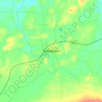
Name: Rathkeale topographic map, elevation, terrain.
Location: Rathkeale, County Limerick, Munster, Ireland (52.48361 -8.97774 52.56361 -8.89774)
Average elevation: 38 m
Minimum elevation: 17 m
Maximum elevation: 85 m