
Ratoath topographic map
Interactive map
Click on the map to display elevation.
About this map
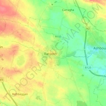
Name: Ratoath topographic map, elevation, terrain.
Location: Ratoath, County Meath, Leinster, A84 EA02, Ireland (53.46773 -6.50090 53.54773 -6.42090)
Average elevation: 86 m
Minimum elevation: 61 m
Maximum elevation: 116 m