
Tulla topographic map
Interactive map
Click on the map to display elevation.
About this map
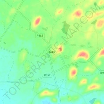
Name: Tulla topographic map, elevation, terrain.
Location: Tulla, County Clare, Munster, Ireland (52.84669 -8.77953 52.88669 -8.73953)
Average elevation: 49 m
Minimum elevation: 29 m
Maximum elevation: 86 m