
Bolivar Peninsula topographic map
Interactive map
Click on the map to display elevation.
About this map
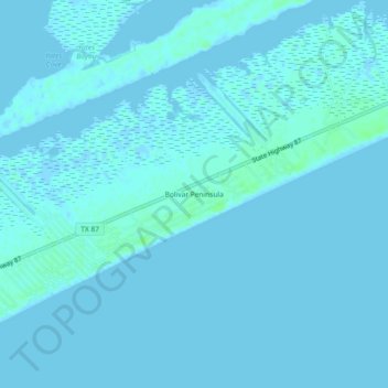
Name: Bolivar Peninsula topographic map, elevation, terrain.
Location: Bolivar Peninsula, Galveston County, Texas, United States (29.45829 -94.59991 29.49829 -94.55991)
Average elevation: 1 m
Minimum elevation: -4 m
Maximum elevation: 7 m
Other topographic maps
Click on a map to view its topography, its elevation and its terrain.