
Sneem topographic map
Interactive map
Click on the map to display elevation.
About this map
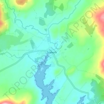
Name: Sneem topographic map, elevation, terrain.
Location: Sneem, County Kerry, Munster, Ireland (51.81833 -9.91933 51.85833 -9.87933)
Average elevation: 35 m
Minimum elevation: 0 m
Maximum elevation: 150 m