
Dungloe topographic map
Interactive map
Click on the map to display elevation.
About this map
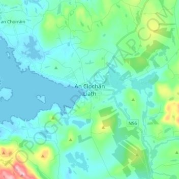
Name: Dungloe topographic map, elevation, terrain.
Location: Dungloe, Glenties Municipal District, County Donegal, Ireland (54.91067 -8.39974 54.99067 -8.31974)
Average elevation: 40 m
Minimum elevation: -3 m
Maximum elevation: 233 m