
Mountshannon topographic map
Interactive map
Click on the map to display elevation.
About this map
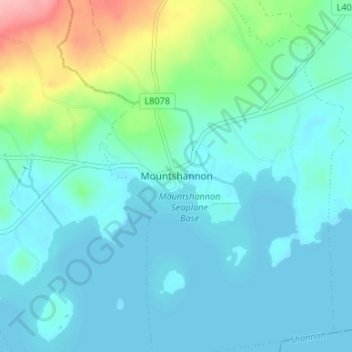
Name: Mountshannon topographic map, elevation, terrain.
Location: Mountshannon, County Clare, Munster, Ireland (52.91141 -8.44733 52.95141 -8.40733)
Average elevation: 52 m
Minimum elevation: 29 m
Maximum elevation: 155 m