
Ballydehob topographic map
Interactive map
Click on the map to display elevation.
About this map
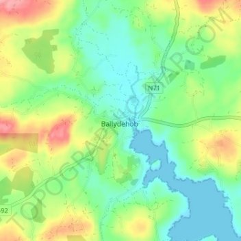
Name: Ballydehob topographic map, elevation, terrain.
Location: Ballydehob, County Cork, Munster, Ireland (51.54263 -9.48044 51.58263 -9.44044)
Average elevation: 36 m
Minimum elevation: 0 m
Maximum elevation: 100 m