
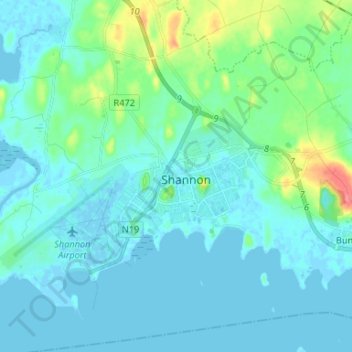
Shannon topographic map
Interactive map
Click on the map to display elevation.
About this map
Name: Shannon topographic map, elevation, terrain.
Location: Shannon, County Clare, Munster, V14 AK19, Ireland (52.67045 -8.91884 52.75045 -8.83884)
Average elevation: 10 m
Minimum elevation: -5 m
Maximum elevation: 62 m
Ireland trails, hiking, mountain biking, running and outdoor activities