
Westport topographic map
Interactive map
Click on the map to display elevation.
About this map
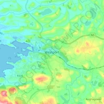
Name: Westport topographic map, elevation, terrain.
Location: Westport, County Mayo, Connacht, F28 RD39, Ireland (53.76006 -9.56022 53.84006 -9.48022)
Average elevation: 40 m
Minimum elevation: -1 m
Maximum elevation: 168 m
Ireland trails, hiking, mountain biking, running and outdoor activities