
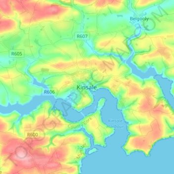
Kinsale topographic map
Interactive map
Click on the map to display elevation.
About this map
Name: Kinsale topographic map, elevation, terrain.
Location: Kinsale, County Cork, Munster, P17 H590, Ireland (51.66574 -8.56298 51.74574 -8.48298)
Average elevation: 44 m
Minimum elevation: -2 m
Maximum elevation: 130 m
Ireland trails, hiking, mountain biking, running and outdoor activities