
Bundoran topographic map
Interactive map
Click on the map to display elevation.
About this map
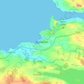
Name: Bundoran topographic map, elevation, terrain.
Location: Bundoran, County Donegal, Ireland (54.43888 -8.31825 54.51888 -8.23825)
Average elevation: 19 m
Minimum elevation: -1 m
Maximum elevation: 91 m