
Athy topographic map
Interactive map
Click on the map to display elevation.
About this map
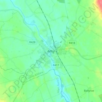
Name: Athy topographic map, elevation, terrain.
Location: Athy, County Kildare, Leinster, R14 YW50, Ireland (52.95239 -7.02359 53.03239 -6.94359)
Average elevation: 65 m
Minimum elevation: 51 m
Maximum elevation: 110 m
Ireland trails, hiking, mountain biking, running and outdoor activities