
Lower Town topographic map
Interactive map
Click on the map to display elevation.
About this map
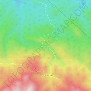
Name: Lower Town topographic map, elevation, terrain.
Location: Lower Town, Mono County, California, United States (38.34742 -119.13987 38.38742 -119.09987)
Average elevation: 2,360 m
Minimum elevation: 2,068 m
Maximum elevation: 2,769 m