
Rancabolang topographic map
Interactive map
Click on the map to display elevation.
About this map
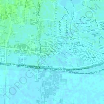
Name: Rancabolang topographic map, elevation, terrain.
Location: Rancabolang, Gedebage, Bandung, West Java, Indonesia (-6.96975 107.68619 -6.96064 107.70474)
Average elevation: 664 m
Minimum elevation: 661 m
Maximum elevation: 670 m