
Kaharole topographic map
Interactive map
Click on the map to display elevation.
About this map
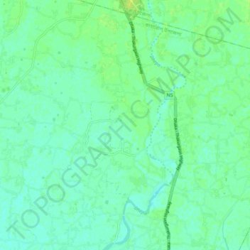
Name: Kaharole topographic map, elevation, terrain.
Location: Kaharole, Dinajpur district, Rangpur Division, Bangladesh (25.75491 88.56354 25.83491 88.64354)
Average elevation: 40 m
Minimum elevation: 35 m
Maximum elevation: 46 m