
Thanchi topographic map
Interactive map
Click on the map to display elevation.
About this map
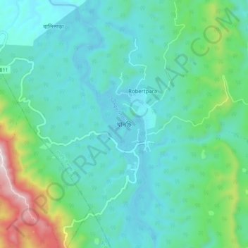
Name: Thanchi topographic map, elevation, terrain.
Location: Thanchi, Bandarban District, Chattogram Division, Bangladesh (21.78261 92.39096 21.86261 92.47096)
Average elevation: 176 m
Minimum elevation: 23 m
Maximum elevation: 793 m