
Krāslava topographic map
Interactive map
Click on the map to display elevation.
About this map
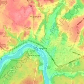
Name: Krāslava topographic map, elevation, terrain.
Location: Krāslava, Krāslavas novads, Latgale, Latvia (55.87952 27.12654 55.91762 27.19906)
Average elevation: 131 m
Minimum elevation: 89 m
Maximum elevation: 168 m