
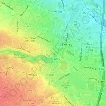
Swords Round Tower topographic map
Interactive map
Click on the map to display elevation.
About this map
Name: Swords Round Tower topographic map, elevation, terrain.
Average elevation: 28 m
Minimum elevation: 0 m
Maximum elevation: 59 m
Other topographic maps
Click on a map to view its topography, its elevation and its terrain.
Swords
Ireland > County Dublin > Swords
Swords, Fingal, County Dublin, Leinster, K67 X8Y2, Ireland
Average elevation: 28 m