
Barneveld topographic map
Interactive map
Click on the map to display elevation.
About this map
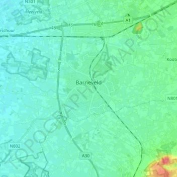
Name: Barneveld topographic map, elevation, terrain.
Location: Barneveld, Gelderland, Netherlands (52.10048 5.51549 52.17273 5.65822)
Average elevation: 12 m
Minimum elevation: 4 m
Maximum elevation: 52 m