
Mount Pundaquit topographic map
Interactive map
Click on the map to display elevation.
About this map
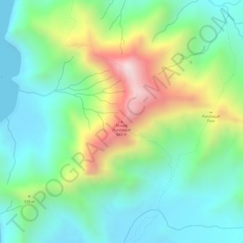
Name: Mount Pundaquit topographic map, elevation, terrain.
Location: Mount Pundaquit, Zambales, Central Luzon, Philippines (14.89578 120.07106 14.89588 120.07116)
Average elevation: 219 m
Minimum elevation: 0 m
Maximum elevation: 646 m