
Wise County topographic map
Interactive map
Click on the map to display elevation.
About this map
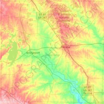
Name: Wise County topographic map, elevation, terrain.
Location: Wise County, Texas, United States (32.99128 -97.92153 33.43394 -97.38302)
Average elevation: 272 m
Minimum elevation: 196 m
Maximum elevation: 384 m
Other topographic maps
Click on a map to view its topography, its elevation and its terrain.
Chico
United States > Texas > Wise County
Chico, Wise County, Texas, United States
Average elevation: 288 m