
Sungai Segamat topographic map
Interactive map
Click on the map to display elevation.
About this map
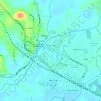
Name: Sungai Segamat topographic map, elevation, terrain.
Location: Sungai Segamat, Kampung Jawa, Segamat, Johor, 85000, Malaysia (2.50228 102.81440 2.51334 102.83008)
Average elevation: 17 m
Minimum elevation: 7 m
Maximum elevation: 54 m